Distance: 1.0 Miles
Difficulty: Moderate
Elevation: 1700 feet
Directions: Take highway 2 east bound. Just outside of Index on the left side of the highway you will see a large pull out area. This is where the trail head is. It is best to go past a mile or so and turn around.
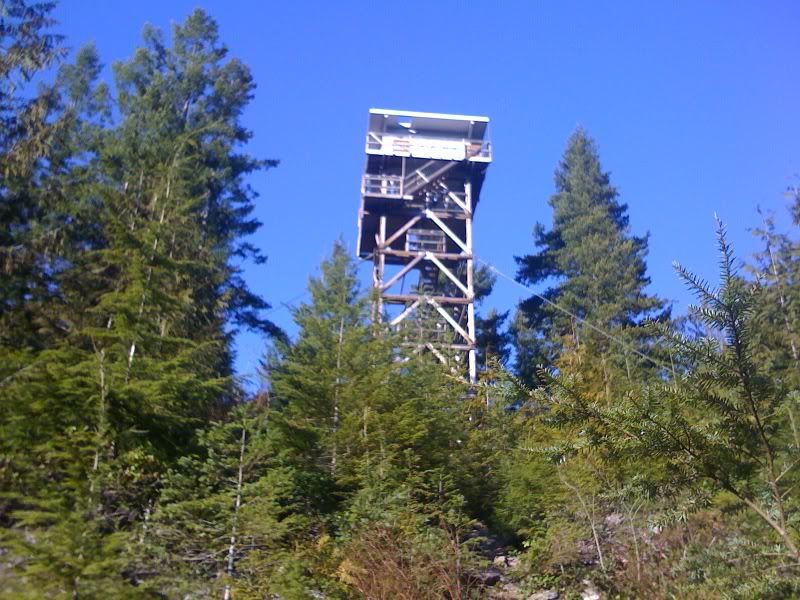
This hike is a great afternoon hike. The distance is short enough so that it can be easily accomplished with only an hour or two worth of daylight. It also provides some pretty spectacular views as well as a Fire Look Out station at the top of the ridge line. I would recomend taking with you any emergency gear (compass, knife, first aid kit) as well as some water and snacks. With the proximity to the freeway it is hard to get lost.
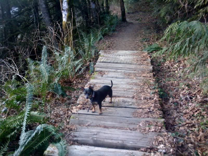 As you enter the trail you are imediately presented with a wooden bridge and a small stream that is seaping out from the hill side. The trail is relatively flat but this quickly changes once you get around the bend. You will be gaining 900 feet over the course of the next mile however the views at the end make it well worth it.
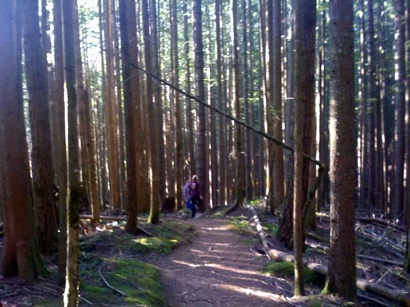 The trail is very well maintained however there were a couple spots that needed some work. The damage may have been caused by recent rains. It made for a nice muddy obstacle to overcome.
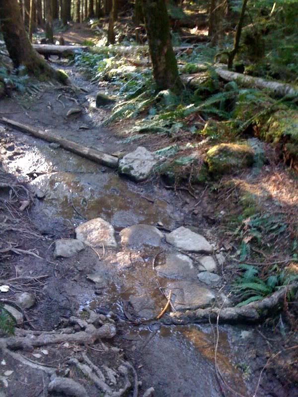
Once you get to the top there are plenty of views and different spots to get views from. You can easily spot Bridal Veil Falls, look to the South west to find it. Here are a few of my favorite views. These images were all taken on a cell phone so they aren't really done justice.
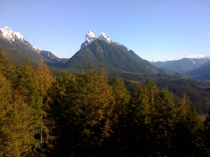
Merchant Peak to the east of the tower.
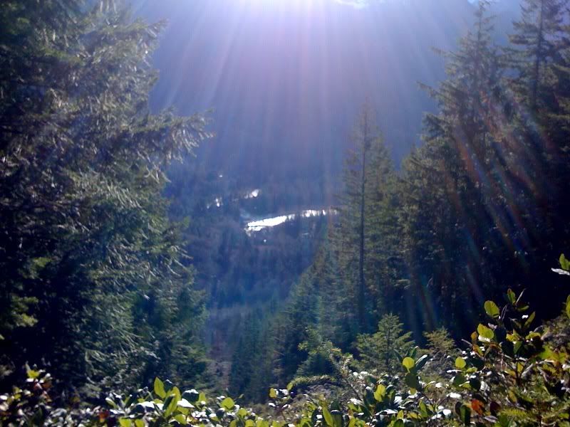
South Fork of the Skykomish river from about 900 feet above it.